
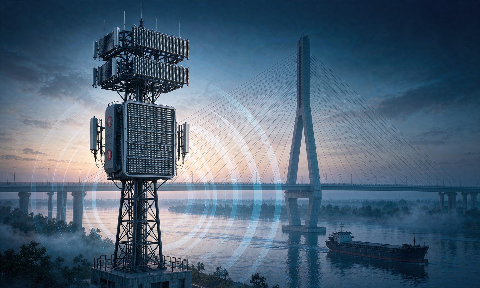
Why a Base Station Can Work as a Radar
For twenty years, cellular base stations and radars have been two entirely separate systems: one delivers bits to handsets, the other delivers "is something there, where is it, how fast is it moving" to a command screen. Each occupies its own spectrum, erects its own mast, runs its own backhaul and its own maintenance crew.
Integrated Sensing and Communication (ISAC) changes that premise — one set of hardware, one slice of spectrum, one waveform, doing two jobs at once. The OFDM signal a base station radiates reflects off ships, vehicles and drones; the receive chain correlates those echoes against the local reference signal, reading range from delay, velocity from Doppler shift and angle from inter-element phase difference. For an operator, this simply means letting a tower that is already broadcasting continuously also listen to what comes back.
The standardisation timeline is now settled. In 2025, 3GPP Release 19 brought ISAC into its core specifications for the first time, covering service requirements (TS 22.137), architecture (TS 23.137) and security (TR 33.777), and added a dedicated sensing channel model to TR 38.901 — solving the fundamental question of what a sensing channel actually looks like: how a target's radar cross-section varies with aspect angle, how multipath and clutter should be modelled in layers. Release 20 lists ISAC as a formal work item, meaning the technology has moved from "research" to "build the product".
China's spectrum route is led by sub-6 GHz 4.9 GHz: 200 MHz of bandwidth and a coverage radius of 1.5–2 km. Millimetre wave at 26/39 GHz offers wider contiguous bandwidth and range resolution down to the 0.5 m class, but covers only a few hundred metres and is currently reserved for local high-precision scenarios. Published field-test data shows that 64/128-channel base stations, with 20% of resources allocated to sensing, achieve position accuracy of 11–20 m with false-alarm and miss rates both below 5%; in low-altitude scenarios, sensing height reaches 300 m with a 1-second refresh rate, 5 m/s velocity resolution and a 95% detection rate.
Put those numbers together and the true positioning becomes clear: this is a wide-area, medium-accuracy, one-second-refresh radar, not a metrology-grade instrument. Only by accepting that can you decide where it belongs.
Bridge Anti-Collision: An Underestimated High-Frequency Risk That Fits the Capability Envelope
A ship striking a bridge is a classic low-probability, high-consequence event. But on a busy inland waterway, "low probability" is cold comfort: a main channel can see tens of thousands of vessel transits a year, and the bridge zone is exactly where bends, confluences, height limits and width limits stack up into a bottleneck.
The traditional protection system has three lines of defence: fender boxes outside the piers (passive, absorbing impact rather than preventing it), watchkeeping plus VHF hailing (human, dependent on the operator's attention), and cameras over the bridge zone (they can see, but are useless in fog, at night or against glare). The shared weakness is not a lack of sensing but insufficient sensing range and insufficient warning time. A fully laden vessel at 8 km/h covers 1 km in seven to eight minutes; spotting it by eye, judging intent, hailing, the crew reacting, the engine reversing — that chain frequently runs out of time.
ISAC's capability envelope overlaps this pain point almost perfectly: base stations are already dense along waterways, with power, backhaul and tower height in place; a single site's 1–2 km sensing radius covers a stretch of bridge-zone water; a one-second refresh supports "deviate and be warned"; and it is unaffected by visibility — precisely the missing piece during fog and darkness, when accidents cluster.
From "Seeing" to "In Time": Three Deployment Samples
Shandong Mobile's inland bridge-zone solution turns warning lead time into a measurable KPI. Its three-tier "far, near, all-domain" architecture uses 5G-A wide-area sensing at the outer layer to pick up vessel dynamics from 1 km away and issue collision warnings roughly 5 minutes ahead; the near layer links bridge-mounted terminals and electronic geofences, using video AI to assess vertical clearance at the navigable span and weather conditions in real time while detecting speeding and course deviation; all-domain equipment stands by around the clock, unaffected by heavy fog or rain. Five minutes sounds unremarkable, but it maps onto a complete response loop: directional VHF hailing, the vessel slowing down, the bridge watch team activating its emergency plan. The value is not that the system sees, but that it sees early enough to act.
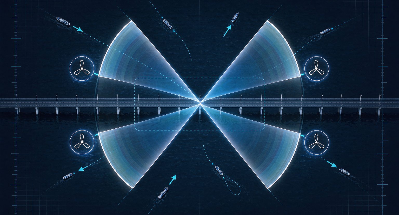
The Yangtze main channel has moved further, system-wide. The "Yangtze New Chain" built by China Mobile and the Yangtze River Navigation Administration has launched commercial 5G-A ISAC networking for inland shipping; Zhejiang Mobile and ZTE completed commercial validation of 128TR ISAC base stations over river and lake waters at the Fuchun River and Qiandao Lake; Anhui Mobile validated precise vessel detection and geofence alarms at Tongling Port; and Hubei Mobile feeds real-time vessel positions from sensing base stations into a digital twin platform that overlays hydrology, vessel traffic and network status on a single 3D map, showing vessel name and type with full trajectory replay. The significance of this path is that sensing data stops being an isolated alarm and becomes the base map of waterway management.
The third sample is in low-altitude airspace. The start-up area of Xiong'an New Area uses 60 5G-A ISAC base stations to cover 20 square kilometres of airspace from ground level up to 480 m, turning the detection of small, slow, low-flying targets from passive reporting into active sensing. For a bridge, that capability transfers directly to the airspace above it: drone inspection corridors, the swing envelope of construction cranes and the mast height of over-height vessels all fall into the same sensing net — something that previously required a separate low-altitude surveillance radar.
On the industry side, scale is still limited but the direction is clear: China Mobile had deployed more than 700 4.9 GHz sensing base stations across 22 provinces by 2025, and in May 2026 launched a centralised procurement of 271 ISAC base stations for its 2026–2027 new-technology trial network, scheduled for completion before June 2027. A quantity of 271 says this is still the "validating the network plan" stage, not full-scale rollout.
One Step Further: From "Seeing the Ship" to "Seeing Millimetres"
Anti-collision is target detection; structural monitoring is displacement measurement, an order of magnitude tighter on accuracy. Two publicly reported threads are worth tracking: a bridge micro-deformation monitoring pilot using 5G-A ISAC in Nanjing, and slope deformation measurement at the Tengyuan open-pit coal mine in Ordos, where reported accuracy reaches the millimetre level.
That path deserves a sober reading. ISAC-based deformation measurement is essentially the detection of minute changes in echo phase and delay, constrained by three physical conditions.
First, bandwidth sets range resolution. 200 MHz corresponds to a physical resolution on the order of 0.75 m; reaching millimetre displacement requires phase differencing and long coherent integration, which places extreme demands on clock stability, carrier phase noise and thermal drift compensation. That is why pilots start on single-target, strongly reflective, geometrically stable mine slopes rather than on a complex bridge deck.
Second, a single site only sees the radial direction. A base station measures the displacement component along its line of sight; lateral displacement, torsion and longitudinal bearing slip are invisible to it. Retrieving three-dimensional deformation needs multi-site or multi-view coordination, which in turn creates new problems in clock synchronisation and data fusion.
Third, the bridge deck is a brutal multipath environment. Vehicles, railings, stay cables and tie rods are all strong scatterers, and separating "does this echo belong to the deck or to a heavy truck" is hard enough before you factor in the deck's daily thermal expansion and contraction.
So the sensible division of labour is clear: second-level, metre-level questions — is there a ship, a person, a speeding vehicle — go to ISAC; millimetre-level, point-level questions — deflection, cable force, bearing displacement, crack opening — stay with GNSS, accelerometers, load cells and fibre-optic sensing. The two are not substitutes; together they extend the monitoring network from points to surfaces. Conversely, ISAC's greatest value may lie not in accuracy but in density: it gives waterways, airspace and road surfaces that never had a sensor a coarse but continuous observation overnight.
Choosing Among Ways of "Seeing"
| Approach | Coverage | Typical accuracy | Refresh | Strength | Limitation |
|---|---|---|---|---|---|
| Dedicated mmWave radar at the bridge | Single mast, a few hundred metres | Sub-metre | Seconds | Close-range tracking of ships and vehicles | Needs separate power and backhaul; limited sites |
| AI video | Line of sight, mast-dependent | Metre-level (calibrated) | Seconds | Target classification, behaviour recognition | Degrades in fog, at night, against glare |
| AIS | Wide area, vessel-dependent | Tens of metres | Minutes | Identity and track of large vessels | Small craft and fishing boats often unequipped; devices can be switched off |
| BeiDou/GNSS displacement monitoring | Discrete points on the deck | Millimetre (static) | 1–10 Hz | Structural displacement, settlement | Requires receivers; high per-point cost |
| Time-series InSAR | Spaceborne, wide area | Millimetres per year | Days to weeks | Screening of slow settlement | Not real-time; poor coherence in urban areas |
| 5G-A ISAC | Continuous wide-area from base stations | 10–20 m | 1 second | Continuous surveillance of waterways, low altitude, roadways | Below dedicated equipment in accuracy; consumes communications resources |
The table supports a single conclusion: choose by how much lead time and how much accuracy you need, not by which technology is newer. Bridge-zone anti-collision needs five minutes of warning and 20-metre accuracy — ISAC is just enough, at the lowest marginal cost. Diagnosing the bridge's own health needs millimetres and long-term trends — dedicated sensors remain the only answer.
Three Engineering Walls
First: sensing resources and communications capacity are a zero-sum trade. Give 20% of time-frequency resources to sensing and downlink throughput drops accordingly. Bridge zones tend to be dense with people and traffic, so revenue and sensing compete on the same tower. A workable approach is time-based dynamic allocation — raising the sensing share during the night-time lull in vessel traffic and falling back to 5–10% during the daytime commute peak — which places new demands on the base station scheduler.
Second: multi-site coordination and "seen but not identified". A 5% single-site false-alarm rate sounds acceptable, but a bridge zone sees hundreds of vessel transits a day; 5% means dozens of false alarms, and the watch team will soon treat alarms as noise. The hard part is not detection but association: when three sites see the same ship, how do you know it is one target and not three; how do you separate a tow from its barges or vessels manoeuvring alongside; how do you stitch a track back together after a pier occludes the target at the span entrance. All of this depends on multi-site fusion and track de-duplication algorithms — classic engineering grind.
Third: data ownership and the operational interface. The base station belongs to the operator, the bridge to its owner, the waterway to the maritime authority, and sensing data must cross all three, raising questions of interface, permission and liability — if a warning is issued and the ship still hits the bridge, who is responsible? Most projects today have the operator supply a "sensing capability interface" while the owner or maritime authority builds the platform for assessment and response, which keeps the boundary reasonably clear. If that boundary is not fixed at contract stage, operations will be arguing about it for years.
A Deployment Checklist
If you are considering ISAC for a bridge zone or waterway, six steps:
- Do the time arithmetic first. Using the worst-case vessel speed, calculate distance-to-detection versus time remaining, establish how many minutes of warning today's tools deliver and how many you need — the gap is your business case.
- Survey the base-station assets. Which live sites sit within 2 km up- and downstream, how tall are the towers, can the azimuth cover the channel, is backhaul bandwidth sufficient, is power reliable. Site conditions often decide success more than technical specifications.
- Draw the three-party boundary. The operator supplies sensing, the owner supplies the scenario and response process, the maritime authority supplies the enforcement basis. Write the data interface, SLA and false-alarm liability into the contract.
- Run dual-track for at least one flood season. Operate ISAC alarms alongside existing measures and use real false-alarm and miss data to calibrate geofences and alarm tiers; never dismantle the old defence on day one.
- Build three alarm tiers. Remote VHF guidance, on-site audible-visual warning, and platform-linked emergency response, each mapped to a collision-probability band — avoiding the "either silent or screaming" failure mode.
- Be explicit about what it does not do. No load-capacity assessment, no damage localisation, no millimetre deformation measurement. Leaving those to the dedicated sensor stack costs less than forcing one technology to do everything.
Summary
The value of ISAC is not that it turns a base station into a high-precision radar, but that it gives existing communications infrastructure an extra layer of free, continuous, weather-independent observation. For bridge anti-collision specifically, it fills exactly the missing segment: the five minutes between "seeing" and "being in time".
On industry timing, Release 19 completed standardisation in 2025, Release 20 work started in 2026, and China has run field validation on more than 700 sites plus a new procurement of 271 — the technology has cleared "can it work" and is now answering "is it worth rolling out". There are more than 46,000 active ISAC patent families worldwide, 38.2% of them Chinese, so the supply chain holds real leverage.
Its boundaries deserve equal honesty: 10–20 m accuracy cannot diagnose a structure, a 20% sensing-resource tax is not free, and the three-party data and liability interface is harder than the technology. What to watch over the next two or three years is not another few points of single-site performance, but two things — whether multi-site coordination can push false alarms down to an operable level, and whether sensing data can genuinely fuse with a bridge's existing monitoring systems on one platform instead of spawning yet another isolated "radar wall". Achieve both, and "the base station doubles as a radar" will move from demonstration project to standard fitment for bridge clusters.